
The usual way: fly to Temuco, then drive
La Araucanía airport (ZCO) is in Freire, about 25 km south of Temuco. Direct flights from Santiago are listed by the official tourism portal. From the airport you continue to Villarrica or Pucón by transfer or minibus, or by rental car. The tourism portal gives about 1 hour 30 minutes for this leg.
A second official page gives about 85 km and 1.5 to 2 hours to the two towns. That figure does not split the distance between Villarrica and Pucón, so treat it as a rough guide for both. Villarrica comes first on the way. Pucón lies further along the lake.
Ways to get to Pucón compared
Distances and times are rough guides, not timetables.
| From | By | Distance and time | Notes |
|---|---|---|---|
| Santiago | Flight to Temuco (ZCO) | Then about 1.5 hours by road | Direct flights are listed by the official tourism portal |
| Santiago | Car on Route 5 Sur | About 760 km to Villarrica, 785 km to Pucón, 8–9 hours | Plan breaks; this is a driving estimate |
| Santiago | Bus | – | A booking site lists JAC, TranSantin, Pullman Tur and Jet Sur; check the current duration and price |
| Temuco | Bus | About 2 hours on average | A booking site lists JAC and TranSantin |
| Temuco | Car on Route 199 | A good hour to Villarrica, about 20 minutes more to Pucón | Orientation for car trips, not a bus timetable |
| Puerto Varas | Bus | About 4 hours and 325 km, another listing says about 5 hours | The direction or timetable may explain the difference |
Do not read the bus times as a car time. Operators and timetables change, so check the current schedule before you travel.
Our pick: a day trip with transport included
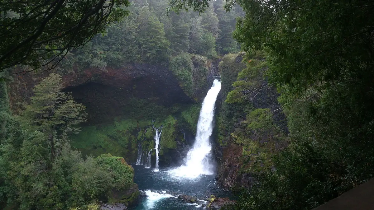
Without a car, a tour that includes the transport covers the distance for you: this one runs shared transport from Pucón to the Huilo Huilo reserve.
Hand-picked tours, booked through GetYourGuide. Prices are indicative starting prices in US dollars (as of October 2026). Tap a tour for live availability and the current price in your currency.
Transfers, tours and day trips from Pucón
Airport transfers and day trips to the volcano, the lakes and the hot springs, with live prices and availability.
From the airport and between the towns
What to arrange before you land.
Airport transfer
The municipal tourism portal names Trans-Araucanía as an airport transfer provider. Fixed prices and departure times are not published there, so check the current schedule before you go, or arrange the transfer in advance.
Rental car
A rental car is named as a transport option by the official portals. Deposit, one-way fee, snow chains and four-wheel-drive rules differ by company. Ask the rental company, and say if you plan to drive in winter or on gravel roads.
Villarrica to Pucón
The two towns are linked by Route 199. Check the road situation before long drives, because roadworks and closures can change the time. From Temuco, count a good hour to Villarrica and about 20 minutes more to Pucón.
Plan around Temuco
Plan your trip around Temuco. Do not count on a scheduled flight to a small airfield in Pucón.
Further south
If you continue to Puerto Montt (airport code PMC) or Puerto Varas, the official portal gives about 20 minutes from the airport to Puerto Varas on Route 5 Sur, as orientation only. The route is covered on the lake district page.
Compare rental car prices at Temuco Airport (ZCO) for your travel dates on Economybookings.com.
Distances from Pucón to the main sights
Figures from official and operator pages, 2026. Use them as orientation.
| Place | Distance and time | Road notes |
|---|---|---|
| Villarrica National Park, control hut | About 8 km | End of the asphalt; then gravel to the ski area parking, about 6.5 km per the municipality |
| Ojos del Caburgua | About 20 km | Entry is paid on site |
| Huerquehue National Park | About 35 km | Last 8 km gravel; buses leave from the Caburgua bus terminal, Uruguay 540; check the current timetable |
| Termas Huife | 33 km | Paved road via the Caburgua turnoff |
| Termas Los Pozones | 35 km | 1 km past Huife; paved access |
| Termas Menetúe | 22 km, about 25 minutes | Operator estimate |
| Licán Ray | 50 km | 30 km from Villarrica |
| Coñaripe Hotel and Termas | 75 km, about 1 hour 15 minutes | Operator figure for its own site, not for the town center |
| Termas Martini (formerly Geométricas) | 16 km from Coñaripe | 7 km asphalt, then 9 km gravel; ask about snow in winter |
| Huilo Huilo | – | Day tour lasts 9 hours; the driving time alone is not given |
Planning your first days
Small decisions that save time.
Where to sleep on arrival
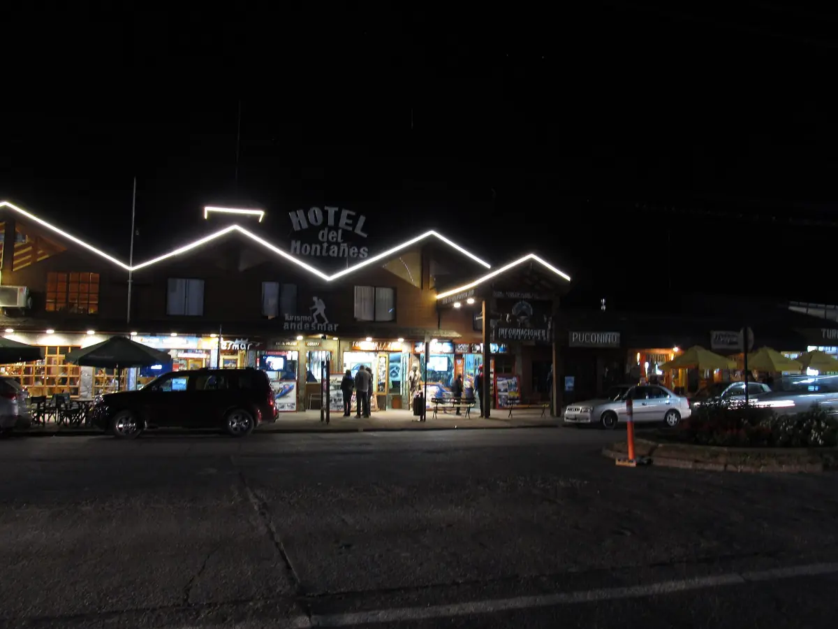
Villarrica lies on the way from Temuco and is a separate town on the same lake, not another name for Pucón. If your flight lands late, a first night in either town is a choice, and the stay page compares the areas.
High season
The official tourism portal recommends booking accommodation ahead for January and February in Licán Ray because of higher visitor numbers. It is a recommendation, not a legal rule, and it is sensible for the whole lake region in the same months.
Getting around without a car
Tours, buses and transfers cover the main sights. For parks and hot springs, check the current bus timetable and ask your accommodation about transfers.
Getting to Pucón: frequently asked questions
Which airport do I fly to for Pucón?
La Araucanía airport (ZCO) in Freire, about 25 km south of Temuco. From there it takes roughly 1.5 hours to Villarrica or Pucón by road.
How far is Pucón from Santiago?
About 785 km by road on Route 5 Sur, or about 760 km to Villarrica. The official estimate is 8–9 hours by car with breaks.
Is there a bus from Temuco to Pucón?
Yes. A booking site lists JAC and TranSantin and an average of about 2 hours. Check the current timetable and fare.
Can I fly directly to Pucón?
Plan on flying to Temuco. Do not rely on a scheduled flight into Pucón.
Do I need a rental car?
It helps for the national parks and hot springs, which lie 20 km or more from Pucón. Many sights can also be reached by tour or bus. Check the current schedules for the buses.