
Pucón at a glance
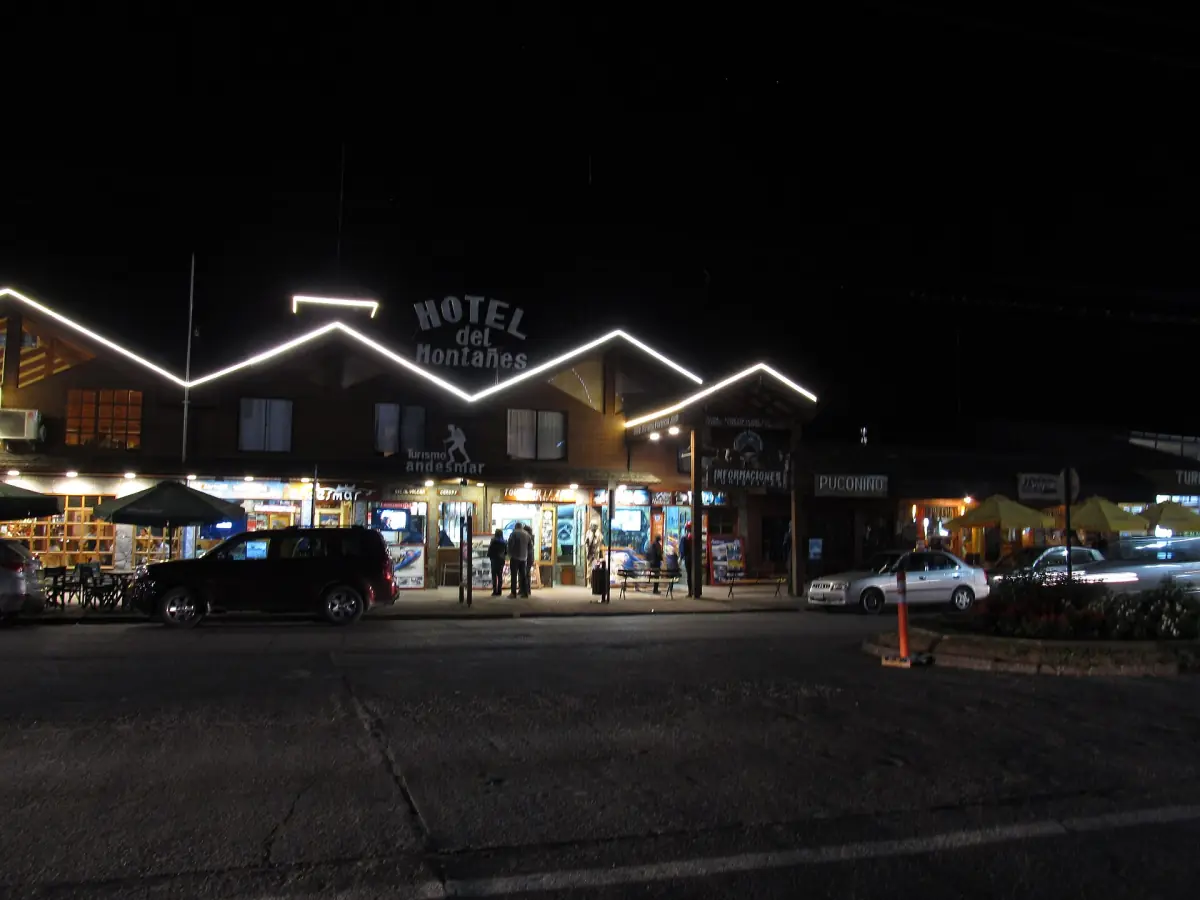
Pucón is a lake town in La Araucanía, on Lago Villarrica. It is a separate town from Villarrica, which lies on the same lake about 20 minutes away by road. Visitors use Pucón as a base because the lakefront, the shops and many tour meeting points are in one place, and the Villarrica volcano is a short drive away.
This page covers the town itself: the beaches and the shore walk, the craft centres, the road to the national park and the distances to day-trip destinations. It is an independent guide, not run by the municipality or any operator. Prices are in Chilean pesos (CLP), as listed in 2026.
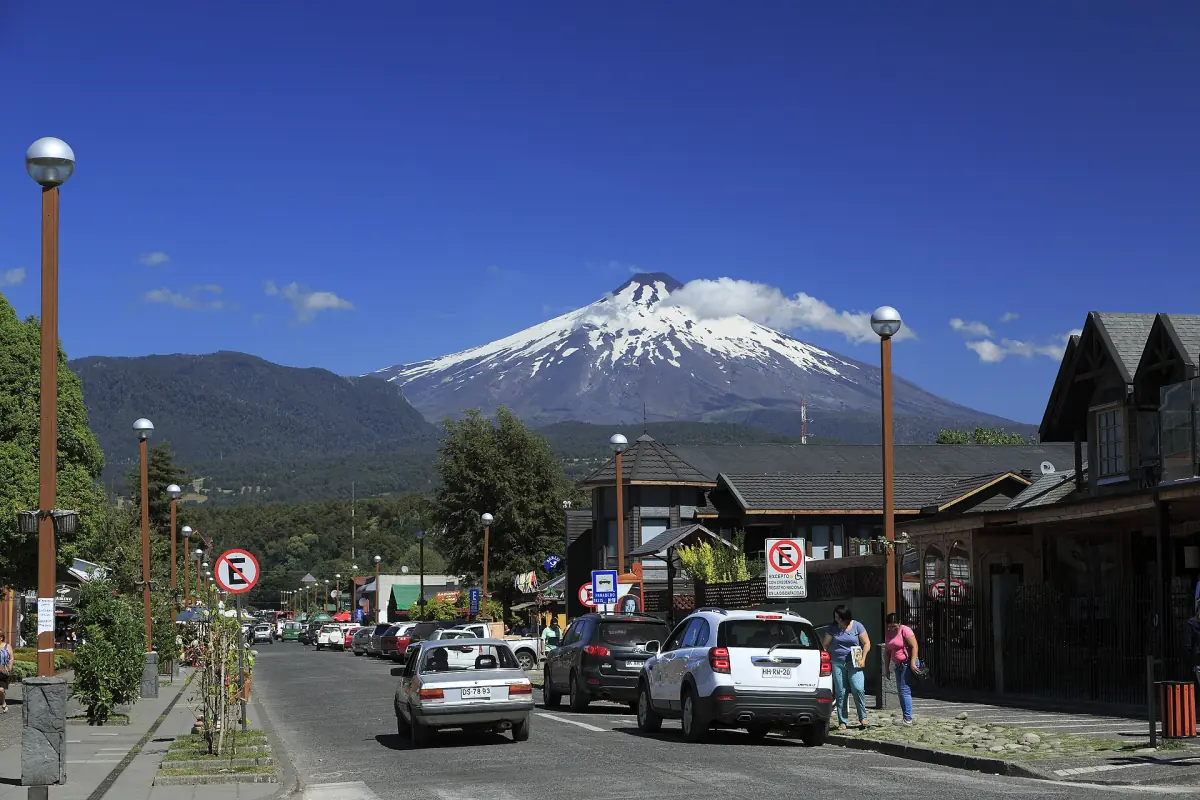
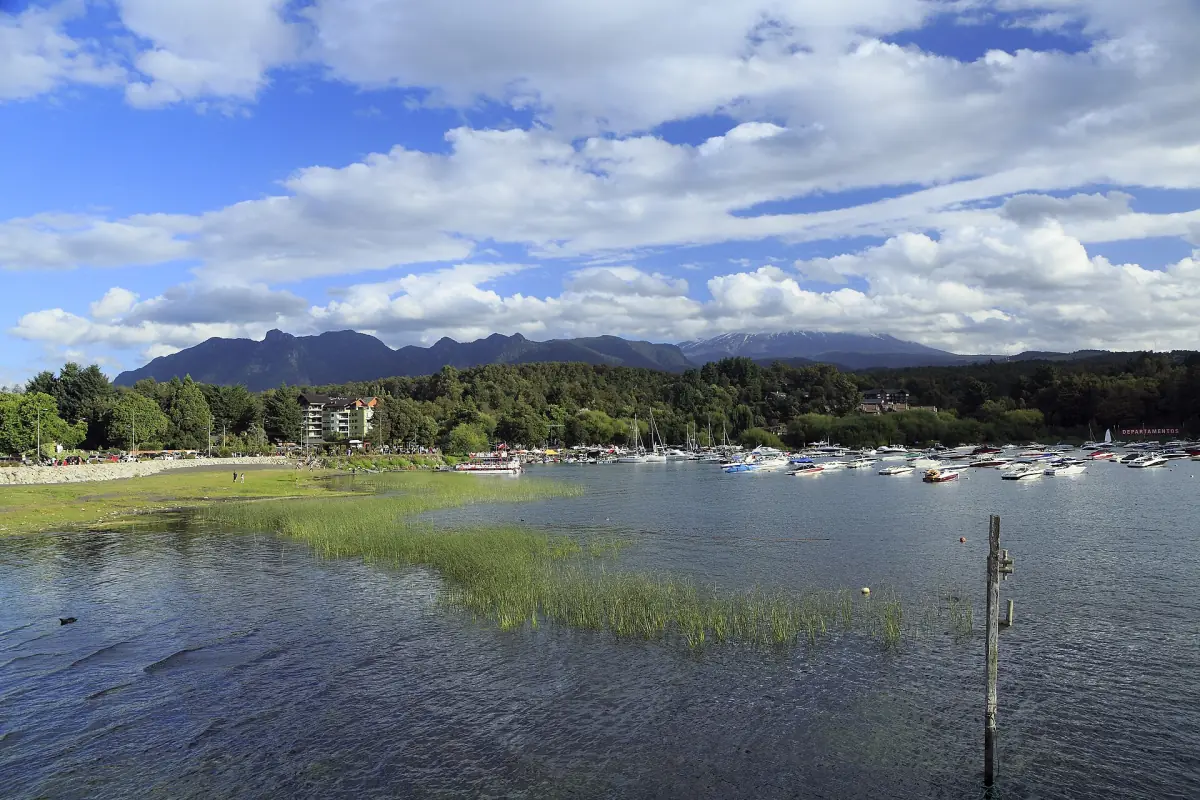
The lakefront: Playa Grande and La Poza
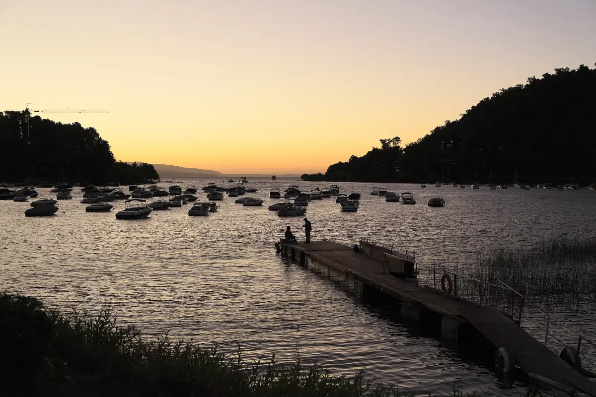
Playa Grande has dark volcanic sand and La Poza is described as a bay with a boat jetty. Both are on Lago Villarrica, and a promenade links the areas along the shore. The tourism descriptions call them beaches and places to walk. They are not swimming clearances.
Whether you can swim depends on the day. Look for signs and lifeguards on site, ask your accommodation, and use the DIRECTEMAR Playas Chile app, which marks which beaches are suitable. The emergency number for the water is 137. Do not rely on the clear look of the water or on a tourism description.
Our pick: canyoning near Pucón
A half-day activity that starts from an agency in town, handy if you want something other than the volcano.
Hand-picked tours, booked through Viator. Prices are indicative starting prices in US dollars (as of October 2026). Tap a tour for live availability and the current price in your currency.
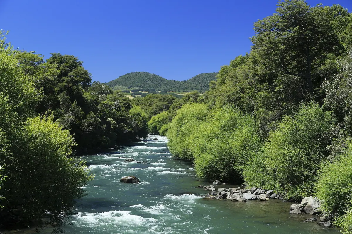
Pucón tours and day trips
Volcano climbs, rafting, hot springs and day trips to Huilo Huilo, with live prices and availability.
Craft centres
Eight active centres in and around town.
The municipal tourism portal lists these active craft centres: Rukapulli, Candelaria, Artes del Sur, Centro Artesanal Plaza de la Artesanía, Mercado Municipal Galería Los Vilos, Feria Artesanal de Caburgua Playa Negra, Kui Kui and Rukatacun. They can be visited through the year. Rukapulli sits on the road to the volcano and lists wood, volcanic stone, ceramics, textiles and jewelry. Opening hours are not the same everywhere, so check before you walk or drive out.
The road to the volcano
Where the town ends and the national park begins.
The CONAF control hut for the Villarrica National Park lies about 8 km from Pucón at the end of the asphalt. You stop there and register your visit. Beyond it, the municipal FAQ lists about 6.5 km of gravel to Juncalillo and the Centro Pillán parking, while a national tourism page gives a flat 20 km and 30 minutes to the access and ski area. The two figures use different end points, so do not combine them into one route.
The technical volcano alert has been yellow since 4 September 2026. The Pichillancahue trail is closed from 25 July to 31 December 2026, and the Centro Pillán winter facilities were listed as closed or unavailable, so do not plan on the lift. The crater climb is possible only with a certified guide and only when conditions allow. More on the volcano page.
Distances from Pucón
Figures as given by the tourism portals and operators. They are guides, not traffic guarantees.
| Destination | Distance from Pucón | Note |
|---|---|---|
| Villarrica town | About 20 minutes | Route 199, on the way from Temuco |
| Ojos del Caburgua | About 20 km | Entry paid on site |
| Menetúe thermal park | 22 km, about 25 minutes | Operator's estimate |
| Huife hot springs | 33 km | Asphalt road, via the Caburgua turn-off |
| Huerquehue National Park | 35 km | Last 8 km are gravel |
| Los Pozones | 35 km | 1 km beyond Termas Huife |
| Lican Ray | 50 km | On Lago Calafquén |
| Coñaripe hot springs | 75 km, about 1 hour 15 minutes | Operator's estimate for its own site |
Staying safe near an active volcano
Know your plan before you need it.
SENAPRED, the national civil protection agency, publishes evacuation plans and a viewer called Visor Chile Preparado. On arrival, ask your accommodation which plan and which meeting point apply to its street. Do not rely on a general rule such as always going to the lake or always taking the car. A yellow technical alert is not an evacuation order, but it is a reason to know the plan.
Plan the rest of your trip
Where to go from town.
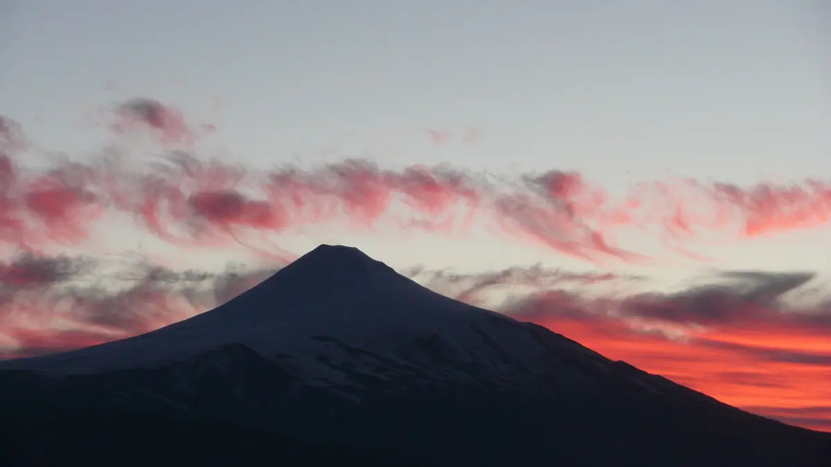
Villarrica volcano
Alert level and climbing rules.
Things to do in Pucón
Twelve ideas with the current closures.
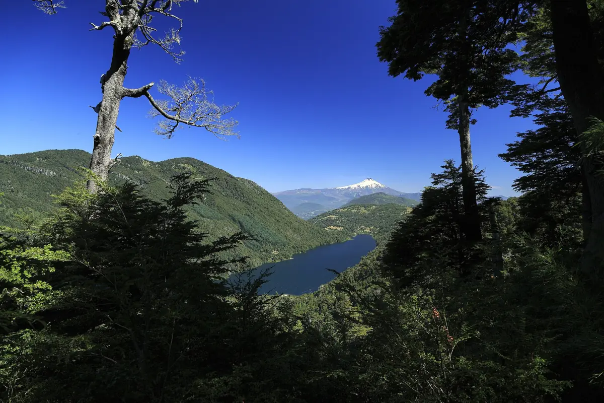
Huerquehue National Park
The Los Lagos trail and what is closed.
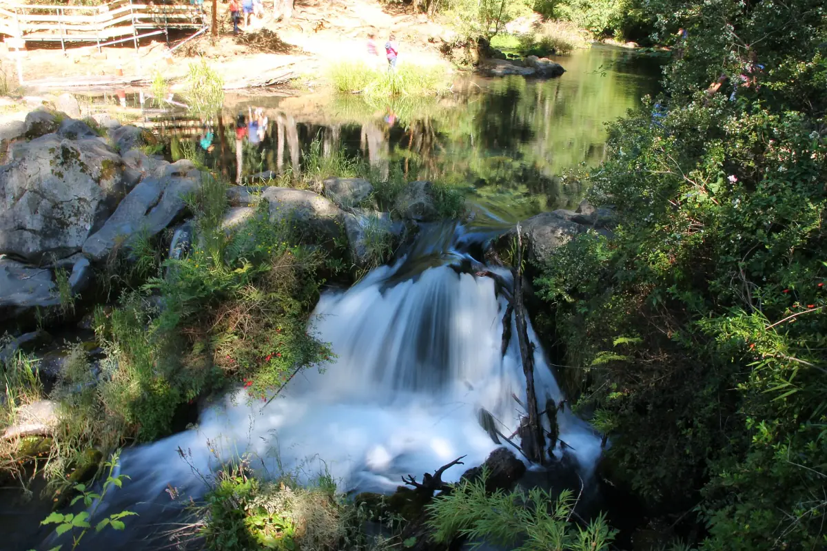
Ojos del Caburgua
Spring pools, waterfalls and Playa Blanca.
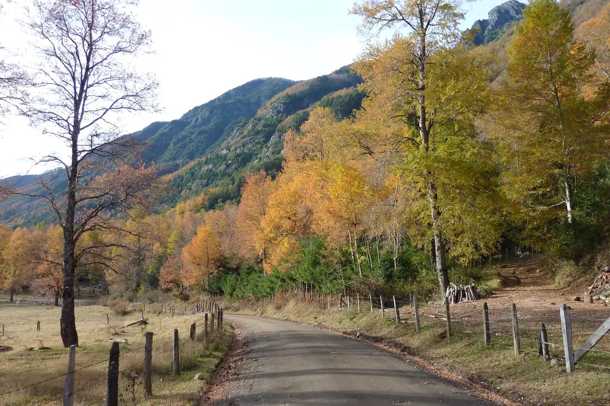
Getting to Pucón
Temuco airport, buses and driving.
Where to stay
The town, the lakeshore or Villarrica.
Pucón: frequently asked questions
Is Pucón the same as Villarrica?
No. They are two towns on Lago Villarrica, about 20 minutes apart. Villarrica is the arrival point from Temuco. See the page on Lago Villarrica and Villarrica town.
Can I swim at Playa Grande?
Do not assume so. The tourism description of the beach is not a swimming clearance. Follow the signs and lifeguards on site and check the Playas Chile app. The water emergency number is 137.
How do I get to Pucón?
Most people fly to La Araucanía airport (ZCO) near Temuco and continue by transfer, bus or rental car. A booking platform gives about 2 hours for the bus from Temuco. See the getting there page.
Where can I buy local crafts?
At the eight craft centres listed above. Rukapulli is on the road to the volcano. Opening hours differ, so check before you go.
Is there a lift to the volcano?
Do not plan on it. The Centro Pillán winter facilities were listed as closed or unavailable. Ask the centre or your tour operator for the current status.